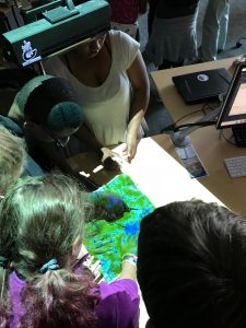
GAPS in the Classroom
Coming soon, we will make available on this webpage many of the Geospatial Information Science (GIS) and Geospatial Technology activities from the GAPS program. Teachers across North Carolina and beyond will be welcome to download these activities and incorporate them into classroom lessons. Each activity will be mapped to specific NC Education Standards.
Teachers, if you are interested in connecting with the Center for Geospatial Analytics regarding classroom activities, or would like to learn how to use technologies developed at the center such as Tangible Landscape and virtual reality in your classroom, please contact Eric Money.